Getting around Colombia
Colombia is bigger than it looks on a phone screen, and its geography does the scheduling: Andean ranges split the interior, and the Caribbean sits a mountain system away from the capital. The working rule is simple — fly the long legs, ground-travel the short ones, and never build a same-day mountain connection in front of a flight home.
Where in Colombia
The standard circuit, north to south- Bogotá — Andean capital, 2,640 m
- Medellín — Aburrá Valley, City of Eternal Spring
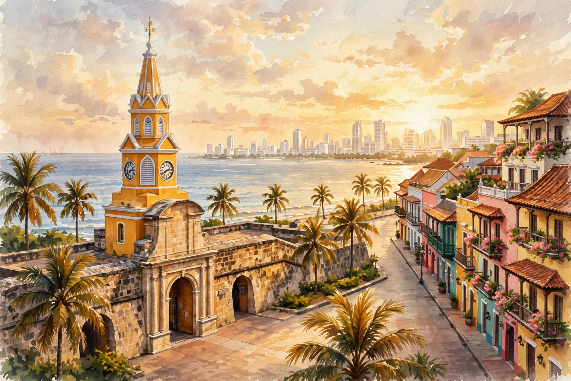
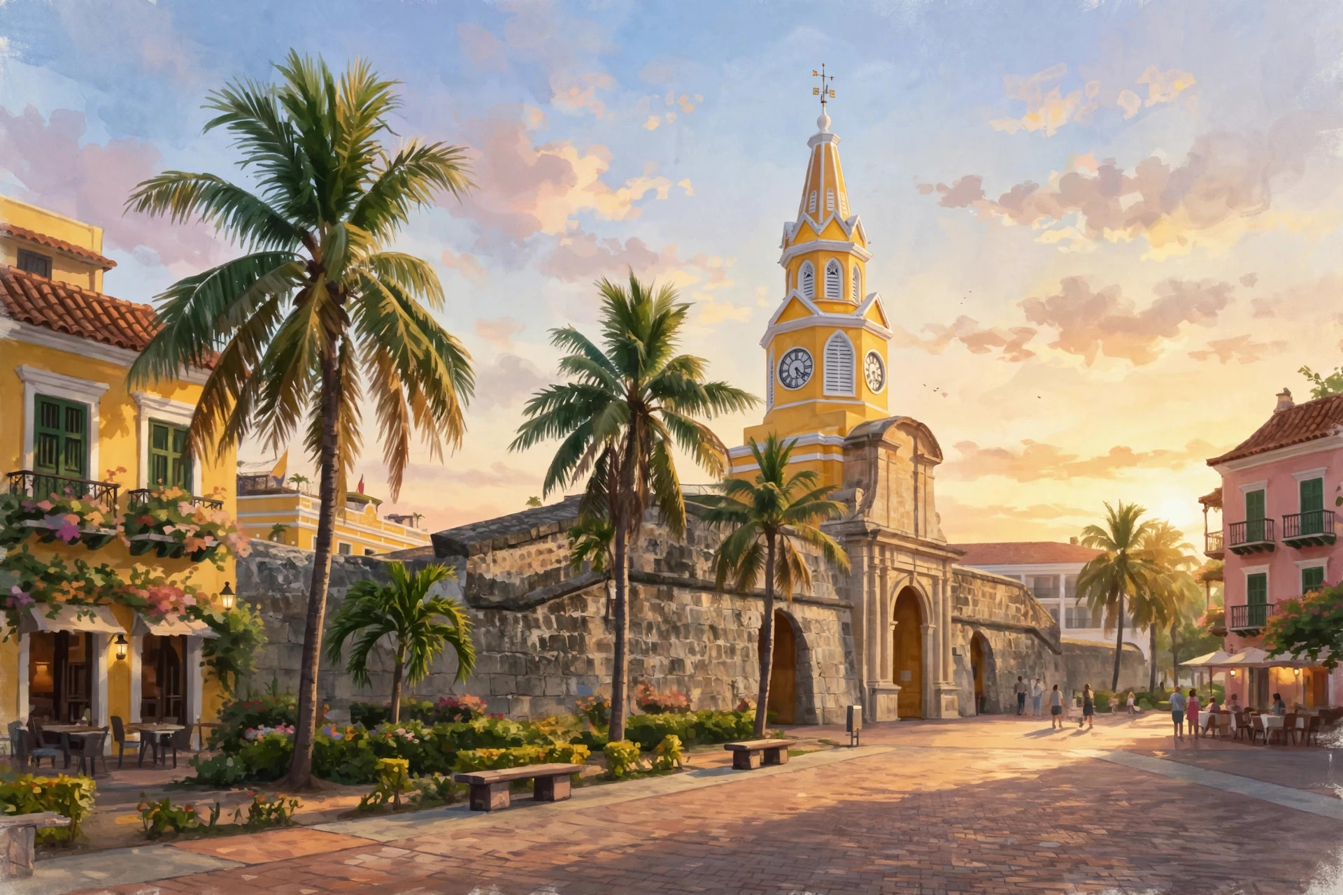
- Cartagena — Walled city on the Caribbean
- Coffee Region — Salento, Cocora Valley and the fincas
- Santa Marta & Tayrona — Sierra Nevada meets the sea
Colombia runs on altitude, not distance: Bogotá in the Andes, Medellín in its green valley, coffee country on the western slopes, and Cartagena and Tayrona on the Caribbean. This guide covers that circuit — and says plainly where it does not go. Open Colombia in Google Maps ↗
By air
Bogotá's El Dorado is the country's main international gateway and Avianca's principal hub, and the entry point most foreign visitors use; Medellín's José María Córdova airport (at Rionegro, outside the city) and Cartagena are the other major international doors. Domestically, flights stitch the circuit together in hops of roughly an hour: Bogotá to Medellín, Bogotá to Cartagena, Bogotá to the Coffee Region airports at Pereira and Armenia, and Bogotá or Medellín to Santa Marta.
Internationally, the Andean triangle is all non-stop: Bogotá–Quito runs about 1 hour 40 minutes and Bogotá–Lima about 3 hours 15, several times daily — which is what makes Colombia the easy northern end of a multi-country Andean trip.
| Leg | Best mode | Why |
|---|---|---|
| Bogotá ↔ Cartagena | Fly | An hour in the air versus a very long mountain-to-coast road day |
| Bogotá ↔ Medellín | Fly | Short hop; the road is scenic and slow in equal measure |
| Medellín ↔ Guatapé | Bus / tour | About 2 hours each way — the classic day trip |
| Armenia / Pereira ↔ Salento | Jeep (willys) | The coffee country's own transport, from town plazas |
| Santa Marta ↔ Tayrona (El Zaino) | Bus / shuttle | Short coastal ride; then the park is on foot |
| Bogotá ↔ Quito / Lima | Fly | Non-stop, ~1h40 / ~3h15 — the trifecta spine |
By bus and road
Intercity buses cover the whole country and Colombians use them for everything, but design road legs conservatively: travel the main routes in daylight, prefer established companies from the main terminals, and respect the two road facts of the Andes — landslides close routes in the rainy seasons, and demonstrations can close them in any season. Buffer days are not pessimism here; they are how itineraries survive contact with the mountains. There is no road at all across the Darién Gap to Panama, and this guide does not route travellers overland toward the Venezuela border regions — see Essentials.
In the cities
- Medellín — the Metro and Metrocable are the model: clean, cheap, scenic, and the best orientation in the city. Ride outside rush hour as a visitor.
- Bogotá — traffic is severe; distances on the map lie. Use app-based rides or hotel-arranged cars, especially at night, and leave far more time than feels reasonable for the airport.
- Cartagena — walk inside the walls; use app rides or agreed-fare taxis for Bocagrande and the airport.
- Coffee Region — willys jeeps from town plazas are the system; confirm the fare before you climb in.
Tours we're vetting for Getting Around
We're lining up launch partners for guided tours in this region — operators we'd book ourselves. When we recommend one, we'll tell you exactly why, and any commission will be disclosed here.
No paid placements yet — when affiliate links go live here, they will be disclosed.
Sample connections
The classic 12-day circuit: fly into Bogotá (3 days, altitude first while you are fresh) → fly to Medellín (3 days, with Guatapé) → fly or road down to the Coffee Region (3 days, Salento base) → fly to Cartagena (3 days, sea level, rest) → home from Cartagena or via Bogotá. End at the sea: after a trip that starts at 2,640 meters, finishing at sea level is the kindest sequencing there is.
Adding Tayrona: Cartagena and Santa Marta sit on the same coast — slot Tayrona (3 days) after Cartagena, checking the closure calendar first, and fly out of Santa Marta or back through Bogotá.
Going south: Bogotá–Quito and Bogotá–Lima non-stops turn this circuit into the first act of an Ecuador and Peru trip. Fly those borders; the one sellable land crossing in the region is Rumichaca (Ipiales–Tulcán) into Ecuador, done as a morning crossing — everything else overland is a project, not a connection.
Arriving well
Two arrival rules save more trips than any app. First, complete Check-Mig before you leave home (see Essentials) — the form is checked at check-in, not on arrival, and the queue you want to be in at the airport is the short one. Second, schedule the first connection like a pessimist: Bogotá's traffic and El Dorado's queues both expand to fill optimistic plans, so give an international-to-domestic connection generous hours, and never put a mountain-road leg between you and a same-day departure.
Make This Trip Real: Getting Around
Our paid trip guides pair the reel with the reality — dated itineraries, real costs, booking links. The Colombia editions are in production now.
No paid placements yet — when affiliate links go live here, they will be disclosed.