One icon. A whole country behind it.
Most people arrive in Peru for a single photograph: a stone citadel on a ridge, with a steep green peak standing behind it. Machu Picchu earns the trip on its own. But treating Peru as a one-sight country is the classic mistake, because the citadel sits at the end of a chain of places that each do something the others cannot: a capital that has become one of the great food cities on Earth, a valley of Inca towns strung along a river, a white volcanic city under a perfect cone, a canyon watched by condors, the largest rainforest on the planet, and a lake so high its islands are made of reeds.
Peru is also a country where the plan matters more than the wish list. The citadel is capped, ticketed by circuit and hour, and sold only through one official platform. The famous trail is permit-only. The trains that serve the citadel sell out in step with the tickets. And the whole southern circuit climbs: sea level in Lima, 3,400 meters in Cusco, higher still at Lake Titicaca. Get the order right and Peru is straightforward. Get it wrong and the altitude, or a sold-out circuit, decides your trip for you. This guide exists to get the order right.
Where in Peru
Schematic list — not for navigationPeru runs in three bands: the Pacific coast in the west, the Andes down the middle, and the Amazon across the east. Almost every first trip moves Lima → Sacred Valley → Cusco, then south to Arequipa and Titicaca, or east to the Amazon. Art for this panel is in production; the places below are placed by region, north to south.
- Lima — Pacific coast · gateway
- Cusco — Andes · 3,400 m
- Sacred Valley (Ollantaytambo) — Andes · 2,792 m
- Machu Picchu — Citadel · 2,430 m
- Arequipa — White City · 2,335 m
- Puno / Lake Titicaca — Altiplano · 3,827 m
- Puerto Maldonado — Amazon gateway
- Iquitos — Amazon River · fly-in
Illustrative schematic. Not for navigation. Open in Google Maps ↗
The places
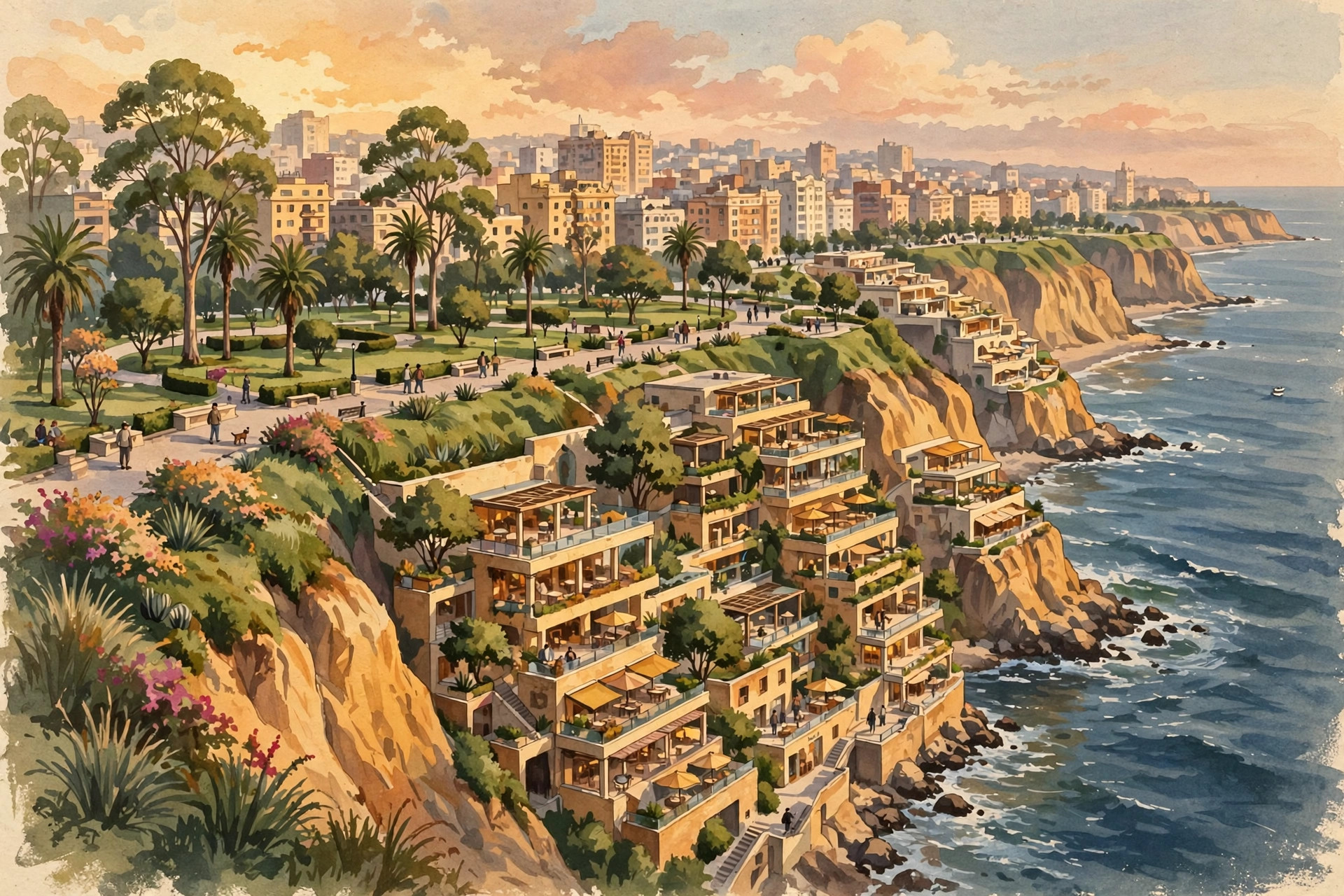
The gateway and the table. Miraflores and Barranco on the cliffs, a food scene that leads the world, and the sea-level start every itinerary needs.
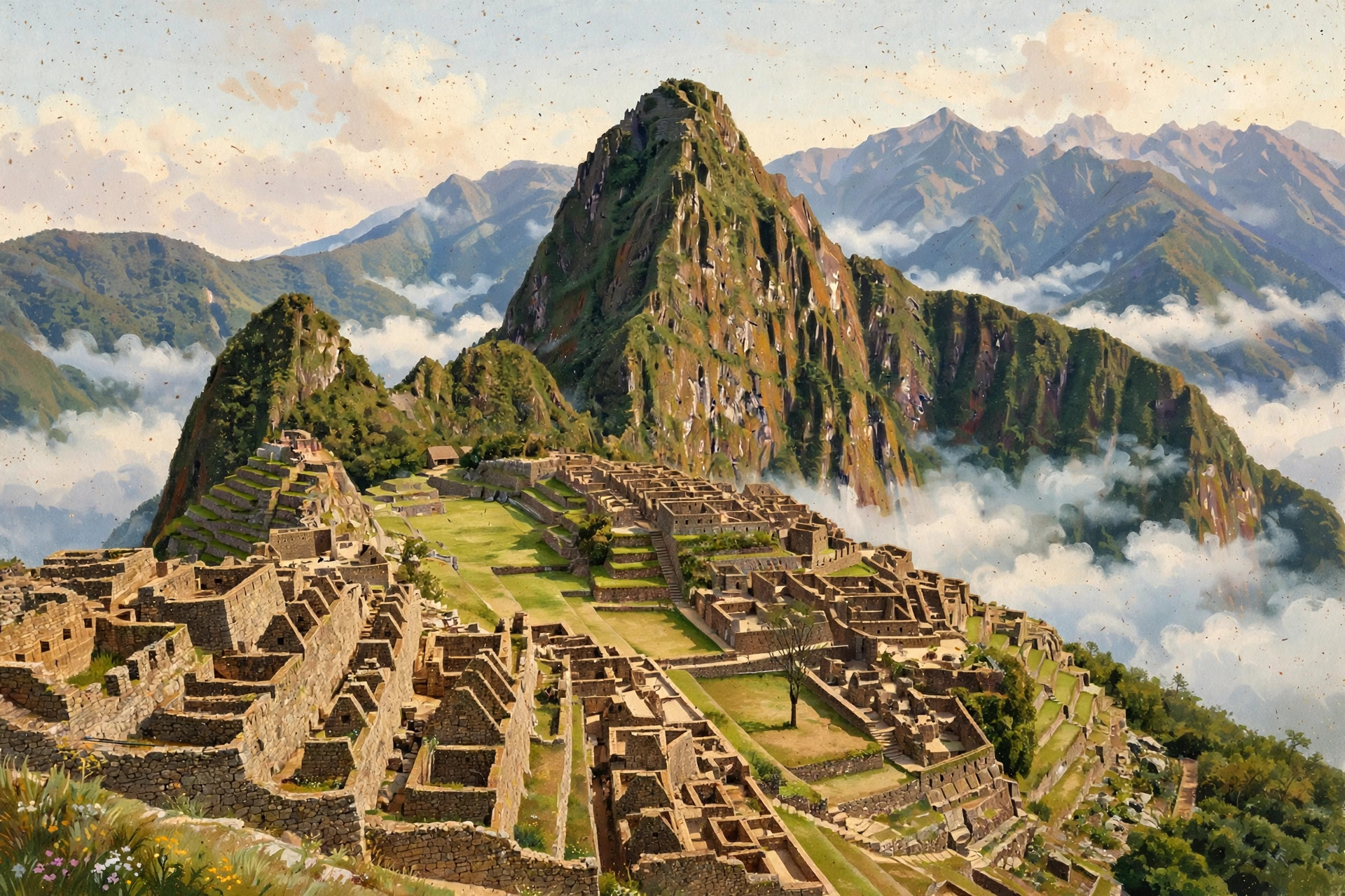
The former Inca capital, the Sacred Valley, and the citadel itself: circuits, daily caps, trains, permits, and the altitude sequence that protects the trip.
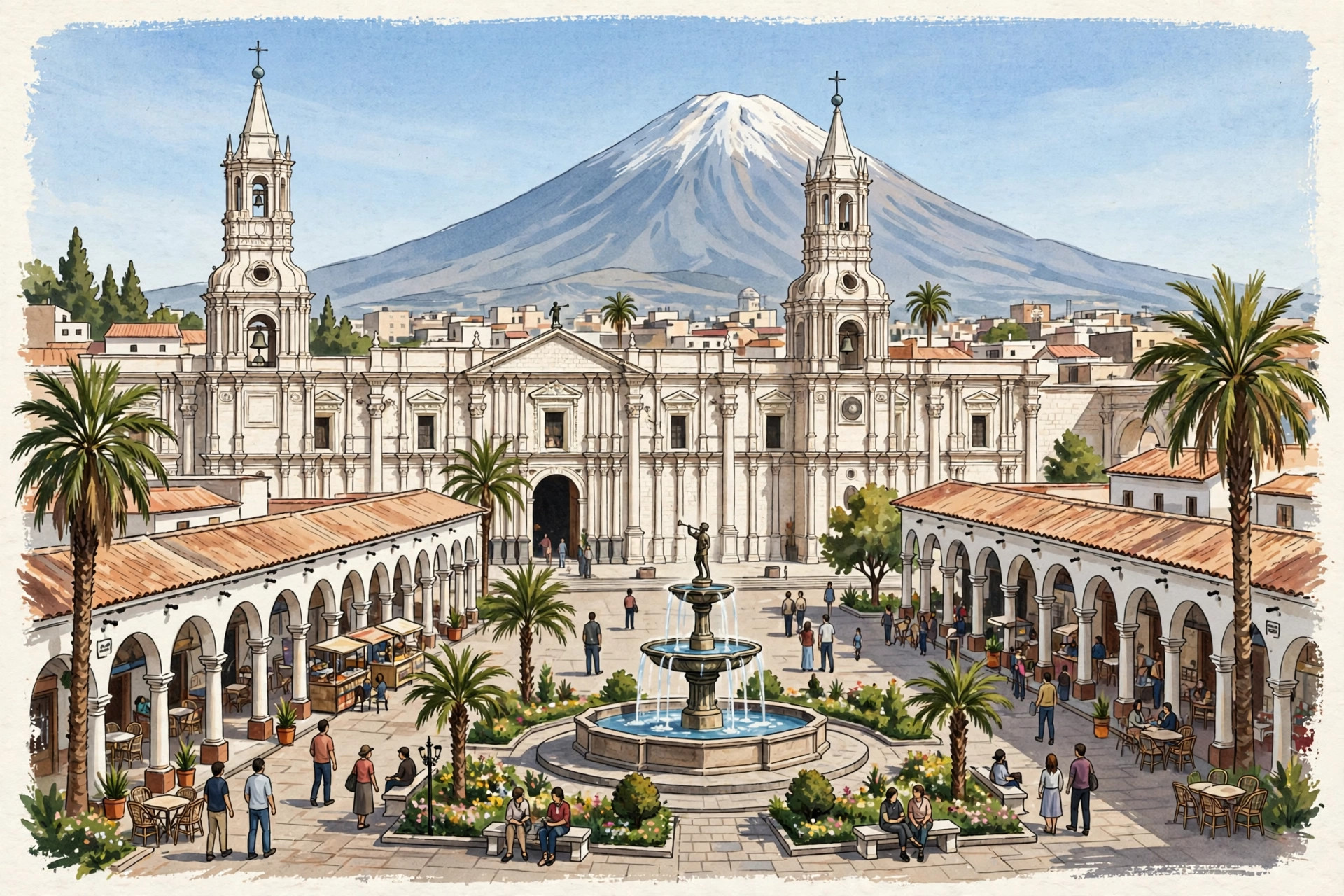
The White City, built from pale volcanic sillar under El Misti, and the two-day road out to Cruz del Cóndor and Colca Canyon.
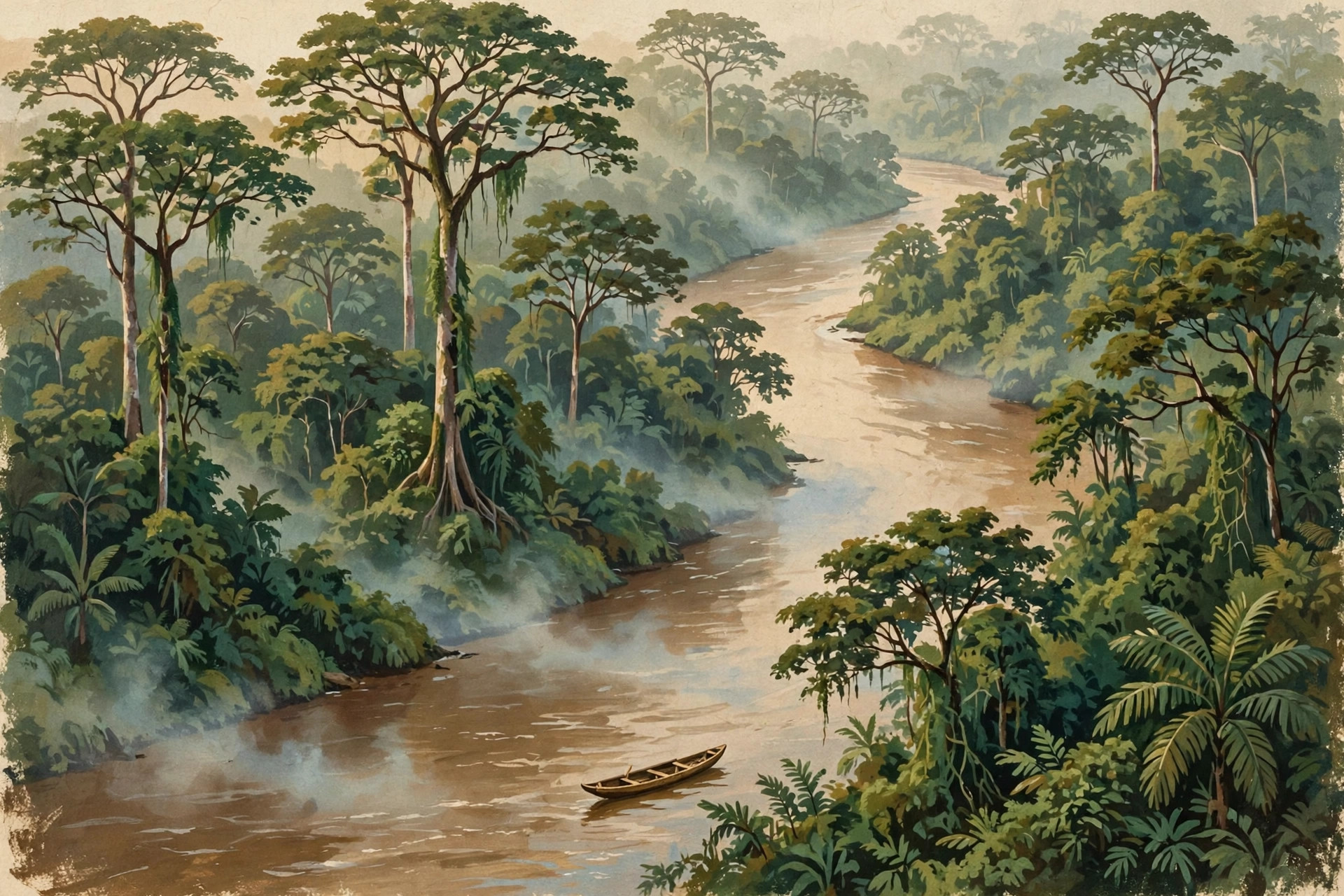
Three gateways, three different products: Puerto Maldonado and Tambopata for the easy add-on, Iquitos for the great river, Manu for the deep version.
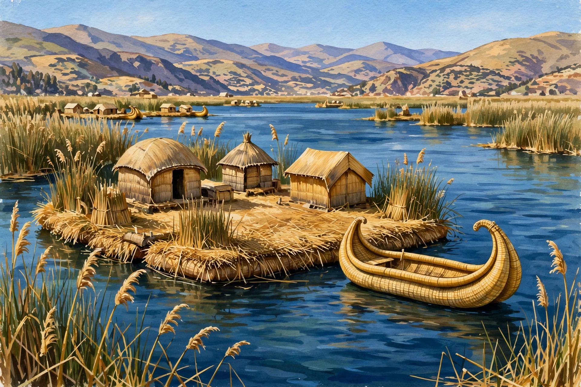
Floating reed islands, the textiles of Taquile, homestays on Amantaní, and folklore in Puno — at the highest altitude of the trip, so it comes last.
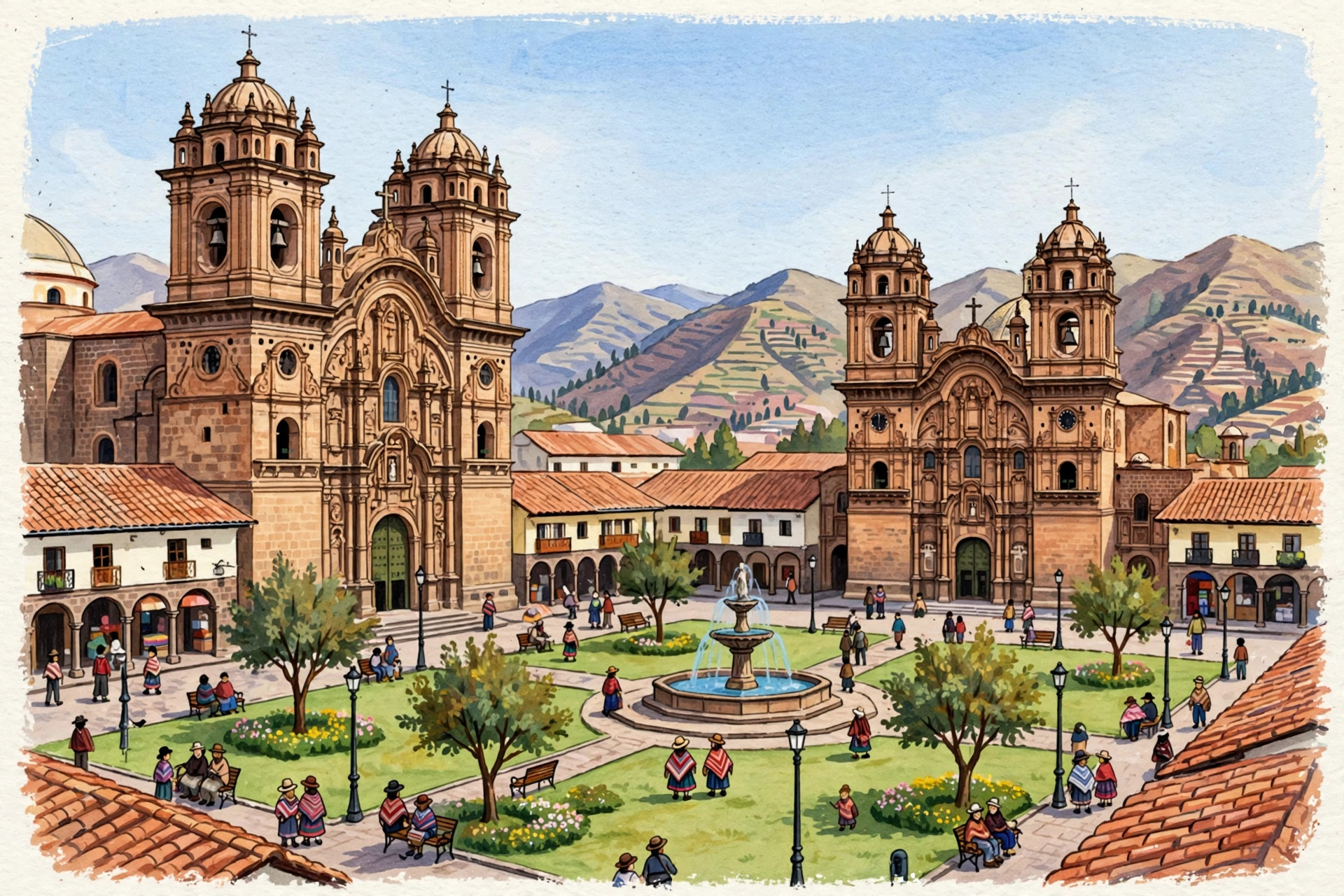
Qorikancha, Inca stonework you can run a hand along, and the Plaza de Armas — best enjoyed after the valley, not straight off the plane.
Why Peru, why now
The hub got bigger. Lima's new Jorge Chávez terminal opened on 1 June 2025, roughly three times the size of the old one and designed for up to 40 million passengers a year at full build-out. Lima now works as the southern hub of the Andes: from here you can fly on to Cusco, Arequipa, Iquitos, or Puerto Maldonado, and connect internationally to Quito, Guayaquil, Bogotá, Cartagena, and Medellín without backtracking through the United States.
Demand is back, and the caps are real. Peru welcomed 3.25 million international tourists in 2024, with tourism earnings reported at US$5 billion, above the 2019 figure. The famous sites did not expand to meet that demand: Machu Picchu still admits 4,500 people a day in regular season. Scarcity is now a structural feature of a Peru trip, which is exactly why booking order — tickets first, then trains, then hotels — runs through every page of this guide.
The pairing is proven. Travellers have combined Peru with Ecuador's Galápagos for decades, and the Lima–Quito flight makes it a single clean hop. Start with the citadel and the valley, finish with the islands; or reverse it and let Lima's restaurants close the trip. Our Ecuador guide picks up where this one leaves off.
Plan your trip
Three climates that never agree: dry Andes, grey coast, wet jungle. Match the month to the region.
Domestic flights, the train chain to the citadel, and why the road legs are the ones to choose carefully.
Visas, the passport-match rule, safety by region, altitude, money, and packing — dated and honest.
Tours we're vetting for Peru
We're lining up launch partners for guided tours in this region — operators we'd book ourselves. When we recommend one, we'll tell you exactly why, and any commission will be disclosed here.
No paid placements yet — when affiliate links go live here, they will be disclosed.
A note on how this guide works
Every XSCOPE country guide follows the same rules. Stable facts — geography, elevations, site names — are stated plainly. Anything that changes — caps, fees, schedules, advisories — carries a verified-as-of date or tells you to check before you go. Maps on this site are illustrative schematics, not navigation maps. When we recommend booking something, we say so, and any paid relationship is disclosed.
Make This Trip Real: Peru
Our paid trip guides pair the reel with the reality — dated itineraries, real costs, booking links. The Peru editions are in production now.
No paid placements yet — when affiliate links go live here, they will be disclosed.