Getting around Peru
Peru is big, mountainous, and honest about it: the map distance between its famous places understates every journey. The good news is that the system has a clear logic. Fly the long legs on a domestic network centred on Lima, use the train where the train is the whole point, take the road for the stretches that are scenery rather than transport, and never let a schedule assume the Andes will cooperate.
Where in Peru
Schematic list — not for navigationPeru runs in three bands: the Pacific coast in the west, the Andes down the middle, and the Amazon across the east. Almost every first trip moves Lima → Sacred Valley → Cusco, then south to Arequipa and Titicaca, or east to the Amazon. Art for this panel is in production; the places below are placed by region, north to south.
- Lima — Pacific coast · gateway
- Cusco — Andes · 3,400 m
- Sacred Valley (Ollantaytambo) — Andes · 2,792 m
- Machu Picchu — Citadel · 2,430 m
- Arequipa — White City · 2,335 m
- Puno / Lake Titicaca — Altiplano · 3,827 m
- Puerto Maldonado — Amazon gateway
- Iquitos — Amazon River · fly-in
Illustrative schematic. Not for navigation. Open in Google Maps ↗
By air
Lima (LIM) is the hub, transformed by the new Jorge Chávez terminal that opened on 1 June 2025 — roughly three times the old terminal's size and designed for up to 40 million passengers a year at full build-out. LATAM, SKY, JetSmart, and others operate the domestic network through it. The hops that structure an itinerary:
| Route | Time | Notes |
|---|---|---|
| Lima → Cusco | ~1 hr 20 min | Sea level to 3,400 m in one hop — go straight down to the Sacred Valley on arrival |
| Lima → Arequipa | Short hop | The civilised way to start the southern loop |
| Lima → Iquitos | ~2 hrs | The only way in besides the river — there is no road |
| Cusco → Puerto Maldonado | ~1 hr | The hop that makes the Amazon an add-on instead of a detour |
| Lima → Trujillo / Chiclayo | Short hop | For the north-coast archaeology circuit |
Lima also works internationally as the region's southern hub, with non-stop services to Quito and Guayaquil in Ecuador and to Bogotá, Cartagena, and Medellín in Colombia — the connections that make a two- or three-country Andean trip a single-ticket proposition. check before you go
To Machu Picchu: the train chain
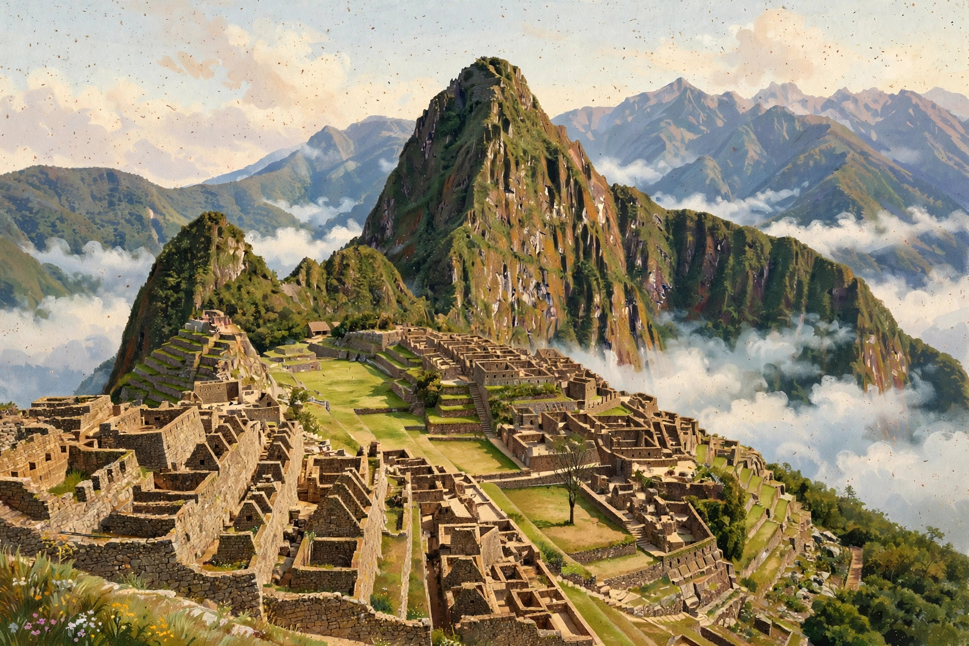
There is no road to Aguas Calientes. The chain is fixed: Cusco by road or bimodal bus to Ollantaytambo, train from there to Aguas Calientes (Machu Picchu Pueblo), then the Consettur shuttle bus about 25–30 minutes up to the gate. Direct trains from Poroy, near Cusco, take about 3 hours 20 minutes. PeruRail and Inca Rail operate the services across classes, and bimodal tickets bundle the valley bus and train into one roughly 4-hour door-to-door product. Book the citadel ticket first, fit the train to its entry hour, and respect the restrictive train luggage limits — main bags stay in Cusco or valley storage. Full detail lives on the Cusco & Machu Picchu page.
By bus and by road
Long-distance buses on Peru's main routes are comfortable and are how much of the country travels — the traveller-bus spine of the southern circuit (Lima → Paracas → Huacachina → Nazca → Arequipa → Puno → Cusco) is a well-worn product in its own right. But mountain journeys are long: Lima to Cusco by road is a full day and more, and product design — ours and yours — should avoid night driving on mountain roads. Demonstrations can also close roads without warning anywhere in the country; a road leg scheduled to the hour is a plan waiting to be revised.
- Arequipa → Colca: 3–4 hours each way, crossing a pass at about 4,900 m on some routings — a two-day trip, never a rushed day return.
- Cusco → Sacred Valley: the short road legs of the circuit; Ollantaytambo doubles as valley base and railhead.
- Puno ↔ Bolivia: crossings at Desaguadero and Kasani for travellers continuing across the lake's far shore.
- Ecuador overland: the Guayaquil–northern Peru through-bus via Huaquillas exists, but the crossing town sits in a US do-not-travel locality — fly Quito–Lima, or take a named through-bus and stay on it. Never present it as a casual walk-across.
Taxis and cities
- In Lima, use pre-booked airport transfers and app-based or hotel-dispatched cars; the new terminal's access roads and city traffic reward planning over improvisation.
- In Cusco and Arequipa the centres are walkable; use dispatched taxis for longer or later moves, and keep phones away at the kerbside in crowded areas.
- In Amazon gateway towns, your lodge's logistics take over — boats and lodge vehicles are the transport system, arranged as part of the stay.
Tours we're vetting for Getting Around
We're lining up launch partners for guided tours in this region — operators we'd book ourselves. When we recommend one, we'll tell you exactly why, and any commission will be disclosed here.
No paid placements yet — when affiliate links go live here, they will be disclosed.
Sample connections
The classic 12-day south: Lima (2, at sea level) → fly Cusco, transfer down to the Sacred Valley (3, with Machu Picchu) → Cusco (2) → Arequipa (2) → Colca (2 days / 1 night) → Puno and Titicaca (2, highest last) → fly home via Lima with a buffer day in hand.
Adding the Amazon: Tambopata slots after Cusco on the short Puerto Maldonado hop. Iquitos belongs at the start or the end, routed through Lima — never squeezed into the middle of the southern loop.
Adding a second country: Lima → Quito for the Galápagos pairing is the classic; Lima → Bogotá or Cartagena opens the Colombian bookend. Each country carries its own advisory map — check the combined itinerary country by country, and remember that a hop to another high city is not a rest at sea level.
Make This Trip Real: Getting Around
Our paid trip guides pair the reel with the reality — dated itineraries, real costs, booking links. The Peru editions are in production now.
No paid placements yet — when affiliate links go live here, they will be disclosed.